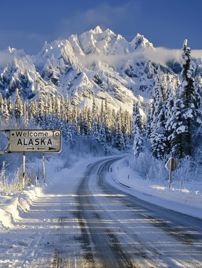
On This Day, February 22, 1825, Russia and Britain established the Alaska-Canada boundary, a significant event in the geopolitical history of North America. This agreement was formalized in the Treaty of Saint Petersburg (also known as the Anglo-Russian Convention of 1825), which set the terms for the demarcation between Russian America (later known as Alaska) and British territories in Canada.
The treaty stipulated that the border between the Russian and British possessions in North America would follow the summit of the mountains parallel to the coast (where such mountains existed within ten marine leagues of the ocean) and then proceed in a line to the 56th parallel to the north of the continent. This boundary was to begin at the southernmost point of Prince of Wales Island and run northward along the coast to Mount Saint Elias, and then follow the 141st meridian to the Arctic Ocean.
The establishment of the Alaska-Canada boundary was crucial for defining the territorial limits of the Russian and British empires in North America, reducing tensions and potential conflicts over the region. However, ambiguities in the treaty’s language regarding the precise route of the boundary would later lead to the Alaska boundary dispute between the United States, which purchased Alaska from Russia in 1867, and Canada, which had by then become a confederation under British dominion. This dispute was eventually resolved in 1903, further clarifying the borders established by the 1825 treaty.
